Real Maps for Places That Never Existed
The Library of Congress treats maps of imaginary places as real cartographic objects, from literary worlds to allegorical landscapes.
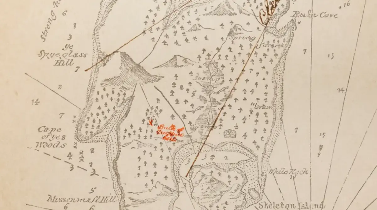
Fiction still needs geography
A made-up place becomes easier to believe once it has a coastline, a mountain range, and a road that bends around a river. That is why imaginary maps keep showing up in books. They make invention feel navigable.
The Library of Congress has treated these objects seriously for years. Its map specialists have written about fictional and allegorical maps not as throwaway illustrations, but as part of the history of how people organize invented worlds.
A map can be evidence of how a story works
A literary map does not prove that a place exists. It proves that the place has rules. It shows what the author, publisher, or reader thought mattered: borders, routes, landmarks, distances, danger zones, and centers of power.
That is why imaginary maps can feel oddly practical. They are not only decoration. They are reading tools. A fantasy kingdom, a moral allegory, or a fictional county becomes a system that someone can study.
The strange dignity of unreal places
Putting imaginary maps in a library catalog gives them a peculiar dignity. They sit near maps of countries, oceans, and cities, but they describe places built from language and belief.
That is the charm. The map says: this did not happen in the physical world, but it happened somewhere in the shared machinery of culture. It was real enough that someone drew the roads.